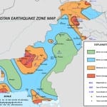
According to catastrophe modeling firm AIR Worldwide, just after 3:00 p.m. local time (10:44 UTC) on April 16, a powerful M7.8 earthquake struck… a sparsely populated area of southeastern Iran about 50 kilometers (30 miles) from the country’s border with Pakistan. According to the United States Geological Survey (USGS), the earthquake struck at a depth of 82 kilometers (51 miles). The Iranian Seismological Center characterized the quake as the worst to strike the country in 40 years. It was felt as far away as New Delhi, India, and the…
Read MoreTag: iran earthquake
M6.3 Earthquake Strikes Iran Coast near Nuclear Plant, Minimal Insured Losses Expected
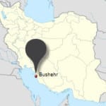
According to catastrophe modeling firm AIR Worldwide, this morning, an M6.3 earthquake struck 55 miles southeast of Bandar Bushehr near Iran’s southwest coast, however insurance losses are expected to be minimal. According to the United States Geological Survey (USGS), the earthquake occurred at 3:22 p.m. local time (11:52:50 UTC) and struck at a depth of 10 kilometers (6 miles). The main shock was followed by six aftershocks, according to the Iran Seismological Centre, the strongest of which was M5.3. According to AIR, with its epicenter located at 28.5° North latitude…
Read More

