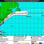
According to catastrophe modeling firm AIR Worldwide, as of the National Hurricane Center’s 11:00 a.m. advisory, Tropical Storm Andrea is moving northeastward at a speed of 15 mph with maximum sustained winds of 60 mph and some stronger gusts. Tropical storm winds extend outward 140 miles but primarily to the east of the storm’s center. The storm is expected to accelerate and continue on a northeast path later today, making landfall in Florida’s Big Bend. Andrea is not expected to intensify further before making landfall and if forecasts hold AIR…
Read MoreTag: storm news
Tropical Cyclone Rusty Makes Landfall; Brings Strong Wind Gusts
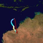
According to catastrophe modeling firm AIR Worldwide, with 1-minute sustained winds of 136 km/h and gusts to 170 km/h, Tropical Cyclone Rusty came ashore as a severe… tropical cyclone-a category 3 storm by the Australian system of cyclone classification (approximately equivalent to a category 1 storm on the U.S. Saffir-Simpson Scale). Rusty made landfall in Pardoo, which is located approximately 110 kilometers east northeast of Port Hedland. Rusty is weakening as it moves further inland, but still wind gusts of 165 km/h were expected near the center of the storm…
Read MoreTyphoon Bopha (Pablo) Impacts the Philippines: AIR Worldwide
According to catastrophe modeling firm AIR Worldwide, Super typhoon Bopha made landfall at 2100 UTC on the island of Mindanao with a central pressure of 930 mb and 10 min sustained winds of 100 kts (115 mph)). NASA-TRMM data indicate that there were maximum rainfall rates of 50-75 mm/hr at landfall. According to AIR, given that insurance penetration in this area is around 10% to 20%; insured losses are not expected to be high as a result of this event. “Bopha is a unique storm due to its intensity and…
Read MoreTropical Storm Ernesto Brings Heavy Rainfall with Second Landfall: AIR
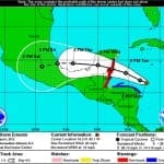
BOSTON, Aug. 10, 2012 – According to catastrophe modeling firm AIR Worldwide, Tropical Storm Ernesto made its second landfall on Thursday, August 9 at around 1:00 PM CDT in southern part of the Mexican state of Veracruz. Wind damage is expected to be minimal, but the storm’s heavy rainfall is expected to continue throughout the day, even as the system dissipates. Significant insured losses are currently not expected from Ernesto. Interestingly, global models suggest that the remnants of Ernesto may redevelop into a tropical cyclone early next week after exiting…
Read MoreTropical Storm Ernesto Strengthening and Headed Towards Belize: AIR
BOSTON, August 6, 2012 – According to catastrophe modeling firm AIR Worldwide, as of 11:00 AM Monday, Tropical Storm Ernesto is increasing in intensity and has maximum sustained winds of 65 mph. The storm’s forward speed has slowed to 9 mph, which has allowed it to become more organized and begin forming an eye. “Just 24 hours ago, Ernesto had a forward speed of 21 mph due to a strong ridge of high pressure that had built north of its track, which kept it moving westward instead of curving northward,”…
Read More


