FEMA maps could make flood insurance more expensive in New Orleans
The U.S. Federal Emergency Management Agency (FEMA) has been making revisions to its national flood maps over the past several months. The agency notes that making changes to its existing flood maps is necessary due to environmental concerns and how changes in climate are affecting portions of the U.S. In some parts of the country, rising sea levels are exposing citizens to risks associated with floods. Powerful storms have also been causing widespread flooding, as was the case with last year’s Hurricane Sandy. Changes to FEMA’s flood maps are expected to have a major impact on the cost of flood insurance coverage.
Revised flood maps could bring more costs to property owners
Most homeowners throughout the country receive flood insurance protection from the National Flood Insurance Program, which is governed by FEMA. FEMA uses flood maps to identify risks associated with floods and this data directly affects the price of flood insurance coverage offered through the federal program. FEMA’s flood maps are also used by the insurance industry for a similar purpose, affecting the price of property insurance coverage in some parts of the state.
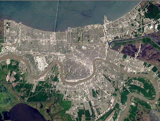
FEMA has begun revising its flood maps for New Orleans, Louisiana. Earlier this week, agency representatives provided resources to New Orleans homeowners concerning the revisions being map to its flood maps for the city and its surrounding areas. Property owners were able to find out what changes were being made, discovering whether their homes or properties were going to be within newly designated flood areas. Those that found that their properties were in these flood areas are likely to see the cost of their flood insurance coverage spike. For these people, FEMA is offering insight on how to reduce the risk of damage caused by floods, which could also help mitigate the rising premiums they could see for their homeowners and flood insurance policies.
Venetian Isles reclassified as a high risk zone
Residents of Venetian Isles, a fairly popular neighborhood in New Orleans, found that their area has been reclassified as a high risk zone, according to FEMA’s new flood maps. This is partly because the neighborhood lies outside of the protection of newly constructed levees that are designed to mitigate the impact of floods. As such, Venetian Isles properties are more exposed to storm surges.

